")
")
")
")
Tips for trips
The peak Velký Sošov (885m) rises up at a frontier area with Poland in Silesian Beskydy south-east from the village Nýdek. A small highland settlement formed especially by summer cottages is situated on the north top hillside. There is a ski slope near the east edge of the settlement and in Poland. The yellow and blue tourist tracks are parting just on the top of the mountain. The blue tourist track leads from Velká Čantoryje and goes further along the frontier to saddle Gruníček. You can step up this peak from the south edge of Hluchova settlement by following the yellow tourist track. There is a very nice view over the surrounding mountains and the villages in the valley from the top.
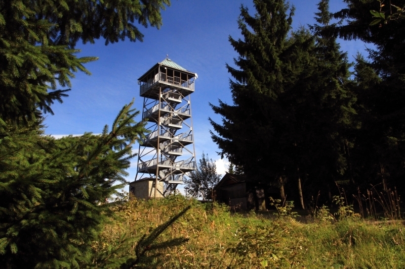
On the top of the mountain Čantoryje is 29 m high lookout tower which offer a unique view to Czech, Polish and Slovak mountains (Malá Fatra, Tatry).
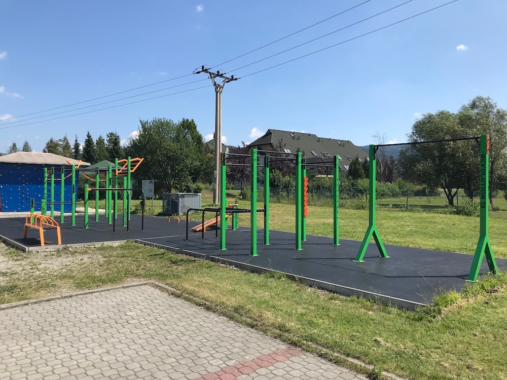
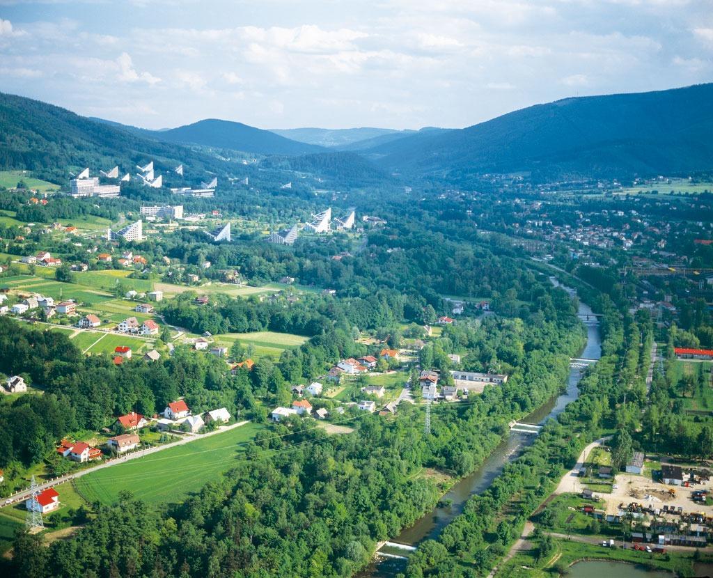
Keen sportsmen love Bystřice. There is a swimming pool, a shooting and fencing range, stables with a hurdle circuit and parkour as some pentathlon stars were born here. The school area includes a sports hall, a gymnastics gym and a fitness centre.
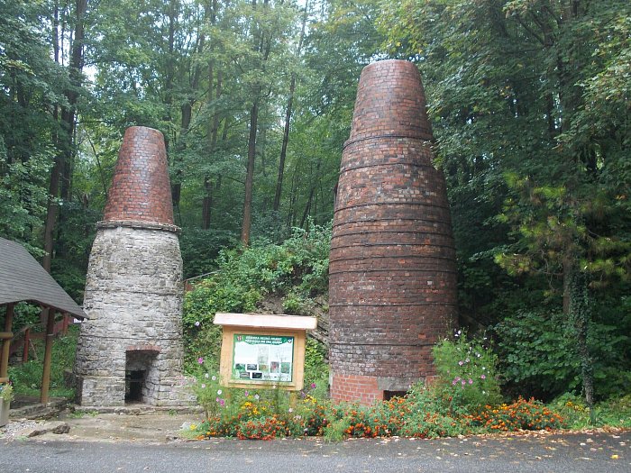
The emergence of these lime kilns dates back to the early 19th century, when it was carried out detailed geological survey of the Carpathian slopes . Deposits of iron ore for the needs of the local ironworks were found.
Set out on a trip following old tales that tell the story about hidden army of knights inside the mountain. They are prepared to help the local region in the times of danger.
You can learn many more interesting facts on this 10 km long educational trail. For example who Jiří Třanovský was, how people lived in the region around Čantoryje mountain that also enables magnificent view to Poland, Czech Republic and Slovakia.
The second part of the trail is prepared for you on the Polish side of Velká Čantoryje where you can get i. e. by the cable from the city of Ustroń.
Within the project the Silesian Beskydy Mountains – Common heritage there were three more trails built between Bystřice and Polish partnership village Brenna with a cross- border game. The rules of the game are available on www.slezske-beskydy.cz. When you finish the game, you can pick up nice prizes in the information centre near the train station.
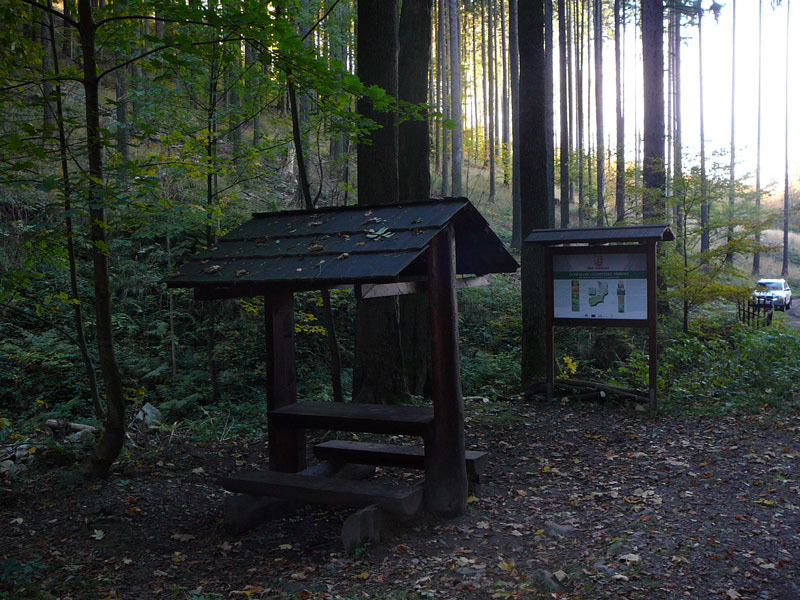
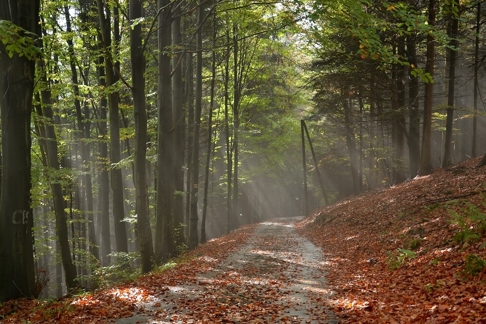
The educational trail will guide you through the beauties of the varied Vendryně nature. Localization in the three geomorphological units accompanied by a difference in natural geological conditions, soil and climatic sphere, which in turn makes enticing variety of vegetation formations with interesting flora and fauna. Spatial differentiation and elevation also determines the scenic landscape perspectives.
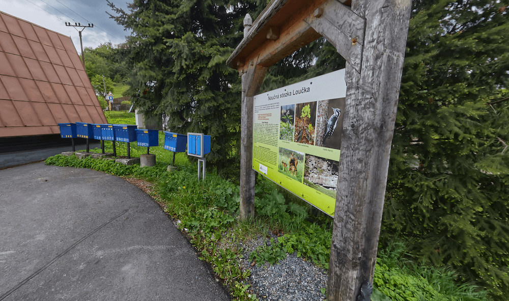
The village Bystřice brought its first educational trail in 2012. The name of the trail Loučka is in fact the name of the only hilltop which is situated in our land register. This hill dominates the village from the north-east side where a borderline between Bystřice and Nýdek runs.
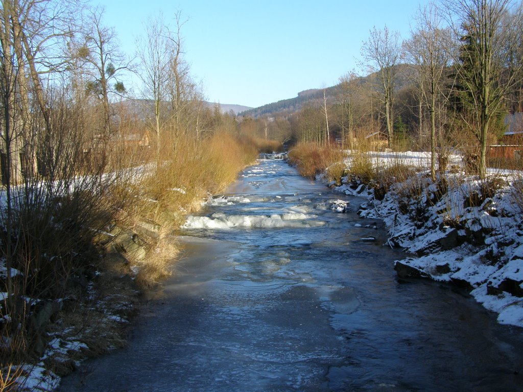
In Bystřice there are seven weirs on the Hluchová river. The river springs under the mountain Velký Stožek and the water is so clear that you can even see the river otters in it. The river is an ideal place to spend time during hot summer days.